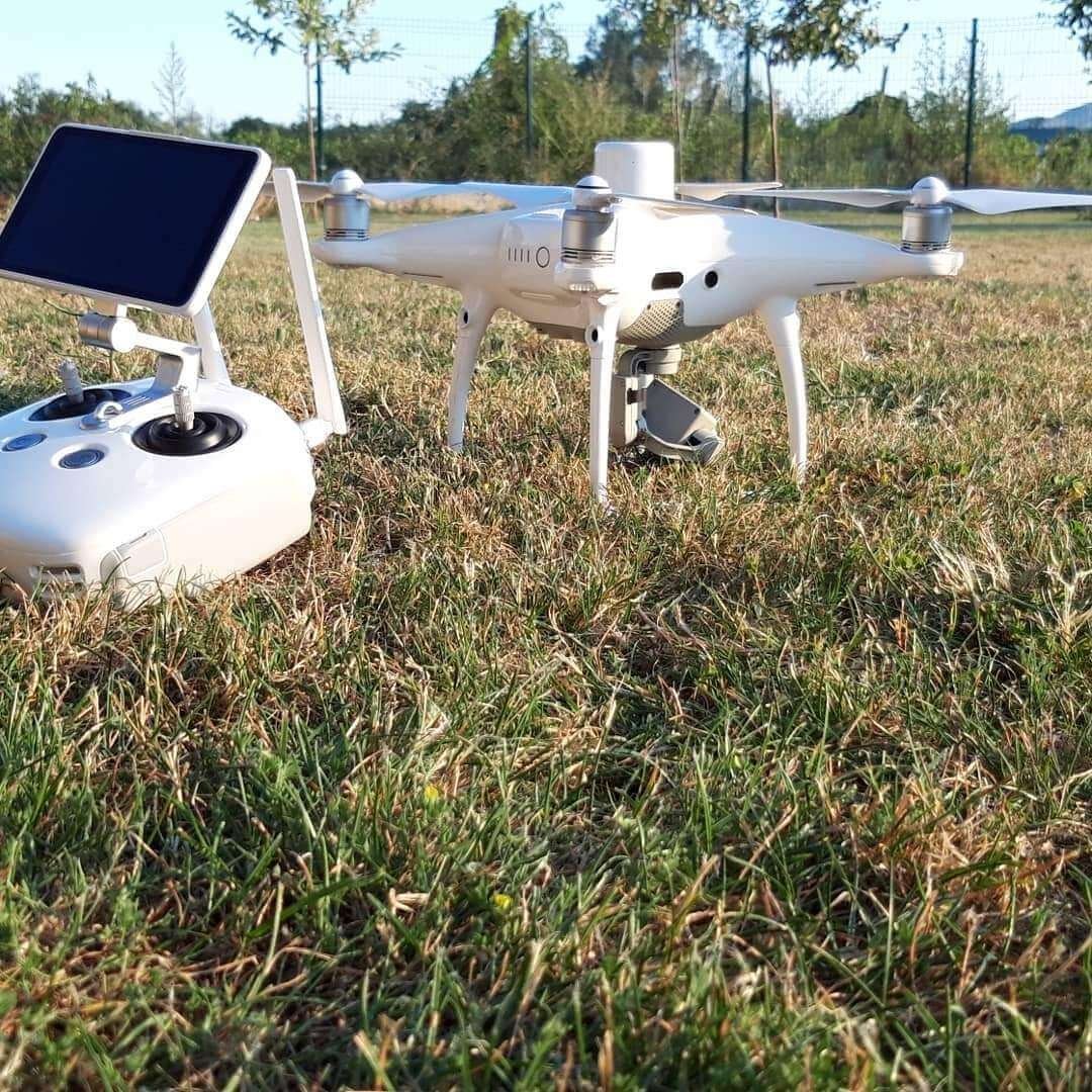
Aerial photogrammetric surveys
Aerial photogrammetry – Drone footage
The development of technology has enabled the mass application of aerial photogrammetry – gathering information about the terrain from the air. With high-quality analysis, calculation and data processing, it is possible to provide a geodetic base of high accuracy.
Geo Invest l.l.c. offers its clients the services of aerial photogrammetry of smaller and larger areas. Aerial photogrammetry is a method of measuring and recording from the air with a camera fixed to the aircraft. Aerial photogrammetry is suitable for creating a digital terrain model and for creating digital orthophoto plans.
Get in touch
Contact us for more information and schedule an appointment to resolve your problem.

