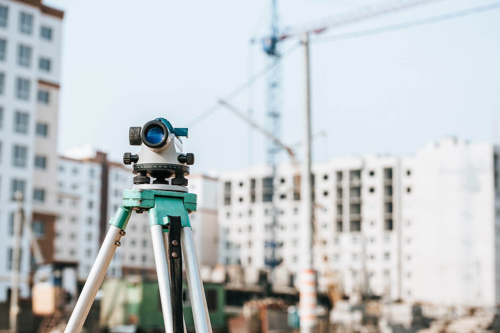
Engineering geodesy services
Professional production of geodetic basis for planning purposes
Precise geodetic measurements are frequent during the construction of civil engineering and high-rise buildings. Also, precise geodetic measurements are necessary when determining the subsidence and deformation of various objects. All geodetic measurements of this type require extensive and detailed preliminary analysis of the problem with a pre-defined method of realization.
Engineering geodesy represents a specific area within geodesy that has wide presence in all disciplines of engineering. It refers to the design and implementation of geodetic control networks of engineering facilities, the creation of geodetic foundations for the purposes of planning, geodetic monitoring of various building structures during construction and exploitation, projects of geodetic marking.
Production of geodetic foundations for planning purposes
Creation of a topographic plan for designing and creation of a geodetic survey for collecting the documentation.
Monitoring the geometry of buildings during construction
Marking and monitoring of new buildings, producing a certificate of the constructed foundation and construction for new buildings.
Monitoring the subsidence of the object
It is necessary to check the subsidence of the building periodically (especially if it is a large residential, business or residential-business building), by measuring the height at certain places on the building (where the measuring tapes are installed).
Calculation of excavation and embankment volumes
Calculation of cubic volumes is done in almost all construction works. This represents the difference between the initial state and the new state after digging or filling in the construction with the material.
Control of the foundations of constructed buildings
After construction of the foundation of the building, it is necessary for the surveyor to control the constructed foundations. Foundation control involves recording the finished state in order to determine whether the foundations have been laid as planned by the project. The check is carried out in terms of position, geometry and height.
Geodetic survey
Geodetic surveying of the object is necessary when the object is not registered in the real estate cadastre, and the owner wants to obtain a use permit, to register the ownership, to carry out the procedure of legalization or the procedure of proof of ownership for the purposes of sale, inheritance, lease, mortgage, etc.
Get in touch
Contact us for more information and schedule an appointment to resolve your problem.

